
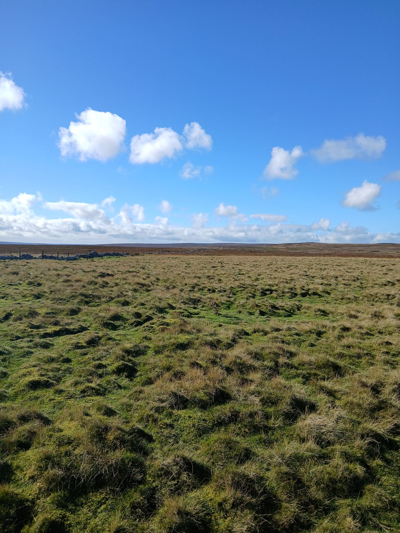
Yesterday we walked for Hope Moor. Today we need to examine what would happen beneath our feet.
In yesterday’s blog, I wrote about Mary Mann, the hundreds who gathered on the moor, and the presence of Lord Ian Botham, Suzy Wilson and Alan Hinkes OBE. The next step is to make the physical scale of this proposal visible.
Fred. Olsen Renewables proposes 23 turbines up to 200 metres at the blade tip. Its own scoping report describes the foundations, crane areas and access works that would accompany them. The environmental judgement must consider that whole development.

Kype Muir shows that this scale already exists. The Extension, near Strathaven in South Lanarkshire, has 15 turbines: four at 156 metres, three at 176 metres and eight at 200 metres. It was fully operational by spring 2024. Two hundred metres is about 656 feet.
Those photographs help us understand a large turbine development. They cannot reproduce the view from Hope Moor: landform, distance, camera position and turbine layout all matter. Proper site-specific visualisations are still essential.
The foundation is much larger than the tower base we see. Hope Moor’s May 2026 scoping report assumes foundations up to 25 metres in diameter, with final designs depending on the selected turbine and detailed ground investigations.
A circular foundation 25 metres across occupies approximately 491 square metres. That is a buried structure beneath the relatively small visible plinth. Across 23 turbines at that diameter, the foundation areas alone would total approximately 1.13 hectares, before allowing for excavation working space.

Building a foundation means excavating a working area. A typical gravity base requires stripping the surface, digging to suitable bearing material, controlling water, laying a level blinding layer, assembling reinforcement and anchorage, pouring and compacting concrete, and backfilling after adequate curing. Where peat is present, its layers need careful separation and handling. Published UK construction methods make this sequence clear.
The opening of a pit can exceed the concrete footprint because crews need working room and the excavation sides require safe support or slopes. As a transparent illustration, a 25 m footing with 2 m working room on each side gives a 29 m excavation floor. At 3 m depth, with side slopes of one horizontal to one vertical, the opening becomes 35 m across: approximately 962 m².
That hypothetical pit contains about 2,420 m³ of excavated space. It is an illustration of geometry, not Hope Moor’s engineered design. It is neither a concrete quantity nor a peat quantity: the ground investigations determine how much of the excavation is peat, mineral soil or rock.

The footing diagrams need to be read accurately. The graphic shared with the Wick post originated in a US engineering article. Its middle example shows a 6.1 MW turbine foundation 68 feet 6 inches across: about 20.88 m in diameter, or 342 m² if circular. Its future example is approximately 25.91 m across, or 527 m².

There is no universal foundation size determined by a 200 m tip height alone. Turbine loads, soil strength, groundwater and the foundation method matter. The 2043 drawing cannot be treated as a requirement for Hope Moor. The appropriate starting point here is the developer’s own 25 m scoping assumption, followed by the actual site-specific designs.
The crane pads deserve just as much scrutiny. A heavy lifting crane needs a level, engineered platform capable of carrying concentrated loads. Delivery vehicles, an assist crane, component storage and assembly require additional space. The pad layout depends on the installation method and the chosen equipment.
| Hope Moor scoping assumption | Per turbine | 23 turbines at the maximum |
|---|---|---|
| Circular foundation up to 25 m diameter | 491 m², calculated | 1.13 hectares |
| Crane pad | Up to 4,150 m² | 9.55 hectares |
| Blade laydown area | Up to 2,050 m² | 4.72 hectares |
These are scoping maxima, not a measured total of land destroyed. The areas may overlap, and their peat and habitat coverage must be mapped. Roads, compounds and other facilities are additional. The report proposes retaining crane pads for maintenance and decommissioning, while removing blade laydown and auxiliary pads after installation.
At the stated maximum, one crane pad has about 8.5 times the area of a 25 m circular foundation. Describing only the tower’s visible base gives the public an incomplete impression of the ground works.

Roads spread the construction footprint across the moor. Hamilton Tarmac records two years of access-road work at Kype Muir Extension. For projects of this kind, the route must accommodate long turbine trailers, heavy cranes, passing places, widened bends and turning areas. There are also drainage works, cable trenches and watercourse crossings.
An illustrative kilometre of road at a 6 m running width occupies 6,000 m². A 12 m construction corridor over that length occupies 1.2 hectares. Those example widths are not Hope Moor’s final specification; they show why the finished road surface and the area disturbed while building it must both be counted.
Excavated tracks remove weak surface material and replace it with engineered stone. Floating tracks spread loads over peat using reinforcement and aggregate. Floating construction can reduce excavation, but its weight can compress peat and obstruct water movement. The IUCN’s development briefing explains that roads and drains can alter the water supply to bog beyond their immediate footprint.
Peat is a living carbon store. Waterlogged conditions restrict decomposition. Excavation and drainage can expose peat to oxygen, accelerate its breakdown and release stored carbon as CO₂. Carbon can also leave in dissolved material and eroded particles carried downstream. The IUCN’s explanation of peat and climate sets out these mechanisms.
Where peat is removed or covered, the works cause direct habitat loss. Where drainage changes, adjoining bog can lose function even though nobody excavated it. Drying, compression, subsidence and erosion can alter vegetation and water flows. These indirect effects need to be assessed alongside the holes and hardstandings.
The 2025 ClimateXChange review found that peat excavation can exceed planned volumes and that evidence and monitoring of reuse outcomes are often inadequate. Keeping excavated peat on site does not establish that its carbon or ecological function has been preserved.
NatureScot’s guidance explicitly warns that backfilling earthworks with peat is not, by itself, sufficient to restore functioning peatland or protect its carbon. Restoration requires appropriate water levels, vegetation and connections to the surrounding bog. Rewetting degraded peat can work; it needs evidence and sustained monitoring.
Kype Muir also needs fair context: OnPath reports peat restoration on land previously degraded by commercial forestry. Its photographs should not be presented as proof that every cleared area was intact bog. For Hope Moor, the assessment must establish the condition beneath each proposed work area and the consequences of disturbing it.
The consequences can reach our waterways. Rain can carry sediment from exposed ground, stockpiles and road surfaces. Pumping water from excavations can alter flows. Concrete wash water, fuels and oils require containment; crossings and drainage can affect stream habitat. Scottish fisheries guidance identifies these construction activities as matters requiring assessment and protection.
Damaged peat can increase the sediment and dissolved organic material entering downstream water. That can affect aquatic ecosystems and water treatment. Brown water occurs naturally in peat catchments, so colour alone does not prove pollution: a credible assessment needs baseline data, upstream and downstream monitoring, and clear thresholds for action.
For Hope Moor, the Planning Inspectorate’s scoping opinion specifically calls for assessment of peat disturbance, changes in water storage, flood risk, water quality and long-term blanket-bog loss. It requires the developer to explain how peat avoidance has been considered before mitigation. Those are substantive assessment requirements; they are not a refusal of consent.

Alan Hinkes’s involvement belongs in this environmental argument. His reported position recognises the need to tackle climate change while opposing the scale and location of Hope Moor. He highlights peat as a carbon store and the potential for infrastructure to alter the moorland landscape.
People can support renewable electricity and defend a particular bog, habitat or landscape from development. Protecting peat is itself climate action. For me, environmentalism means taking the place seriously: its wildlife, its water, its carbon and what future generations would inherit.
GREED or environment? A commercial development must earn its environmental claims through evidence. Financial returns and community payments cannot answer questions about permanent habitat loss, disturbed peat or altered waterways.
Publish the detailed footprint. Show the peat depths beneath the foundations, roads and crane areas. Quantify the excavation and explain the drainage. Test the carbon assumptions. Make restoration commitments measurable, enforceable and funded, including at decommissioning.
Yesterday we said: KEEP HOPE MOOR WILD.
Today we must insist that the land beneath those words receives the same attention as the turbines proposed above it.
Evidence checked 12 October 2026. Kype Muir photographs are scale comparisons; the Wick excavation is an illustrative separate project. Hope Moor dimensions are scoping assumptions, not final construction drawings.
Leave a Reply